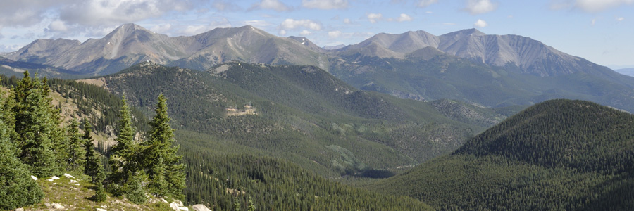
The San Isabel National Forest in Colorado is a popular destination for outdoor recreation such as hiking, biking, hunting and fishing, and ATVing. Some areas actually become crowded in the summer peak visitation season due to the easy accessibility, proximity to high population cities, and successful marketing. But with 1.1 million acres of land, it’s always possible to find peace and solitude simply by exploring beyond vehicle-accessible areas and avoiding popular trails.
Historic town sites, mining districts, and homesteads are scattered throughout the forest. This log cabin is located in Pomeroy Gulch and is likely related to the historic mines in the area.

These are the Chalk Bluffs and Agnes Vails Falls located west of Nathrop, Colorado.
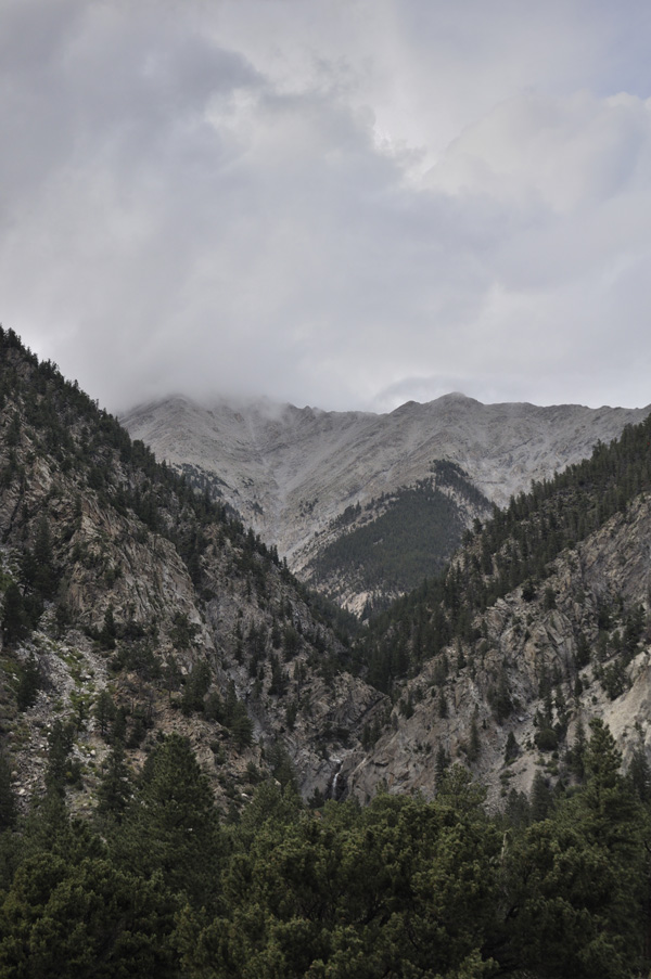
The Continental Divide Trail begins in Canada and ends near the Mexican border, passing through the San Isabel National Forest. This very popular section connects Monarch Pass to Marshall Pass. Only a hundred people each year complete the Continental Divide Trail, but we saw 50 people in an hour on this section. It isn’t hard to leave the crowds though, just wander off the trail.
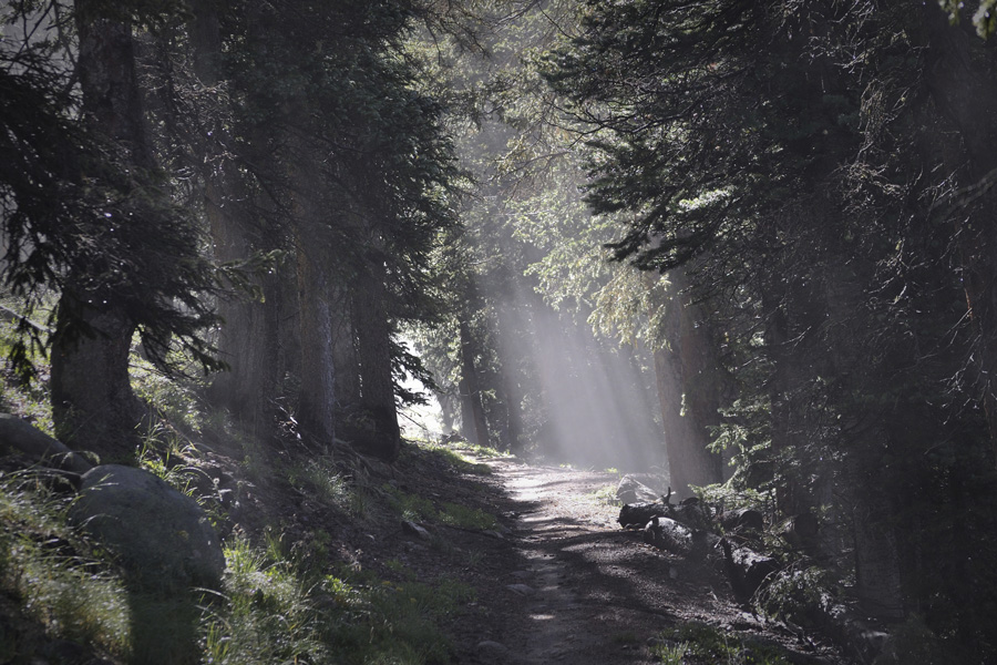
The San Isabel National Forest includes seven designated wilderness areas and contains 19 of Colorado’s 54 Fourteeners, mountains over 14,000′ feet high.
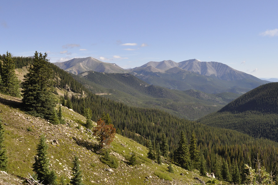
Mountain weather can abruptly change. Storms build fast and temperatures can quickly plummet.
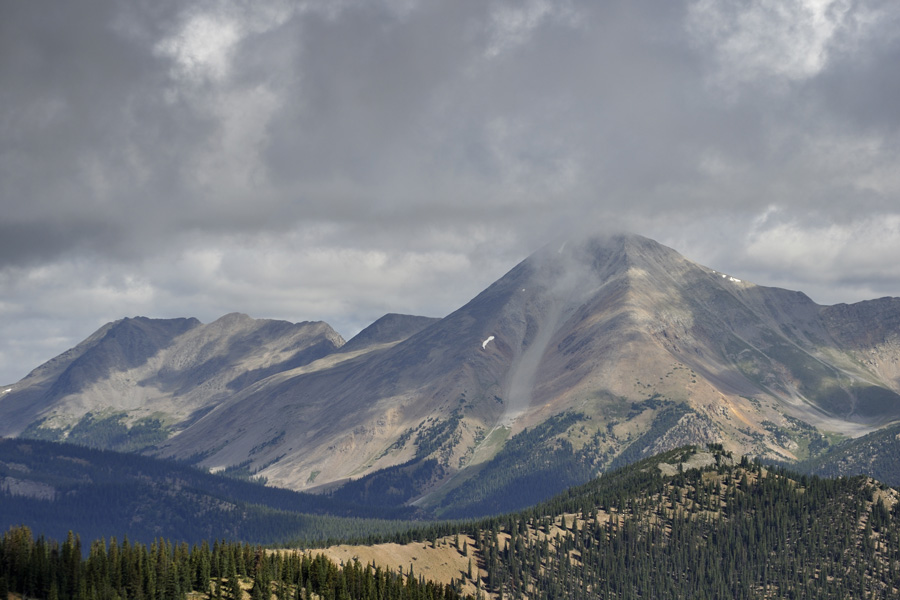
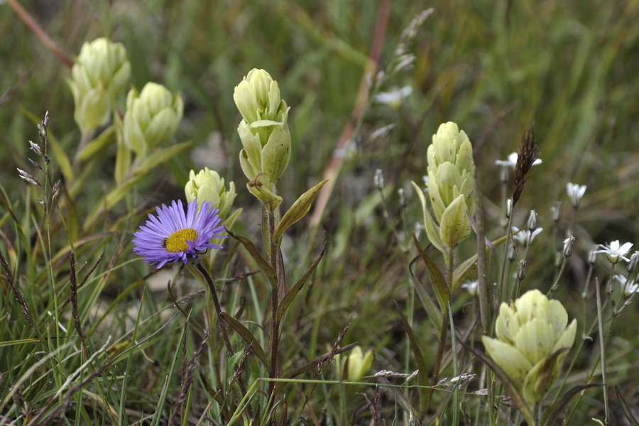
With a late spring and early fall, summer doesn’t last long at 10,000′.
Much of the San Isabel National Forest is a land of high mountains and sub-alpine forests, but not all of it. This area is northeast of Salida, on the east side of Brown’s Canyon National Monument.

Comments
San Isabel National Forest — No Comments