Rio Grande del Norte National Monument
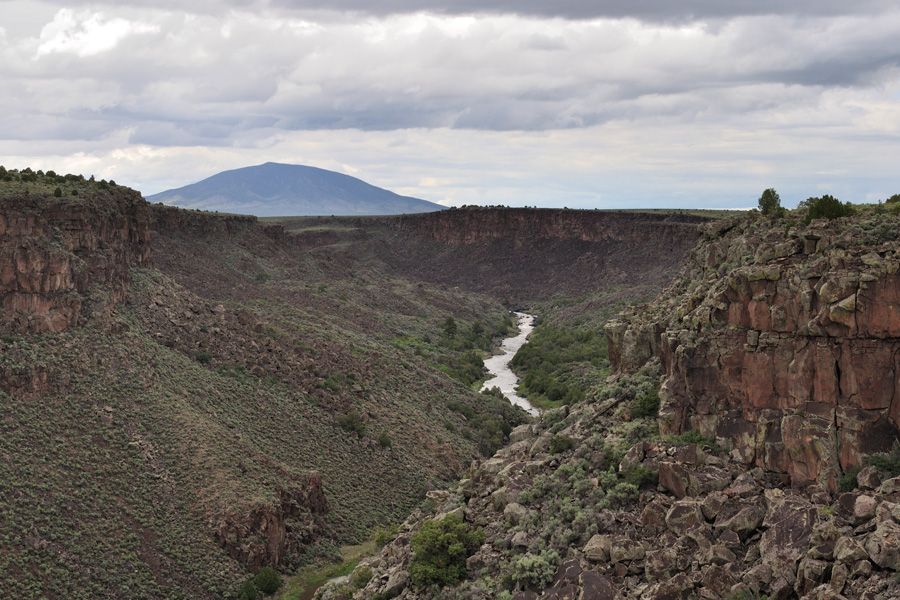
The Rio Grande Del Norte National Monument is a newer national monument near Taos in Northern New Mexico. Established in 2013, the public land is 242,500 acres and includes the Rio Grande Gorge from near Pilar to the Colorado state line, Ute Mountain and other volcanic peaks, and much of the Taos Plateau.
Taos Junction
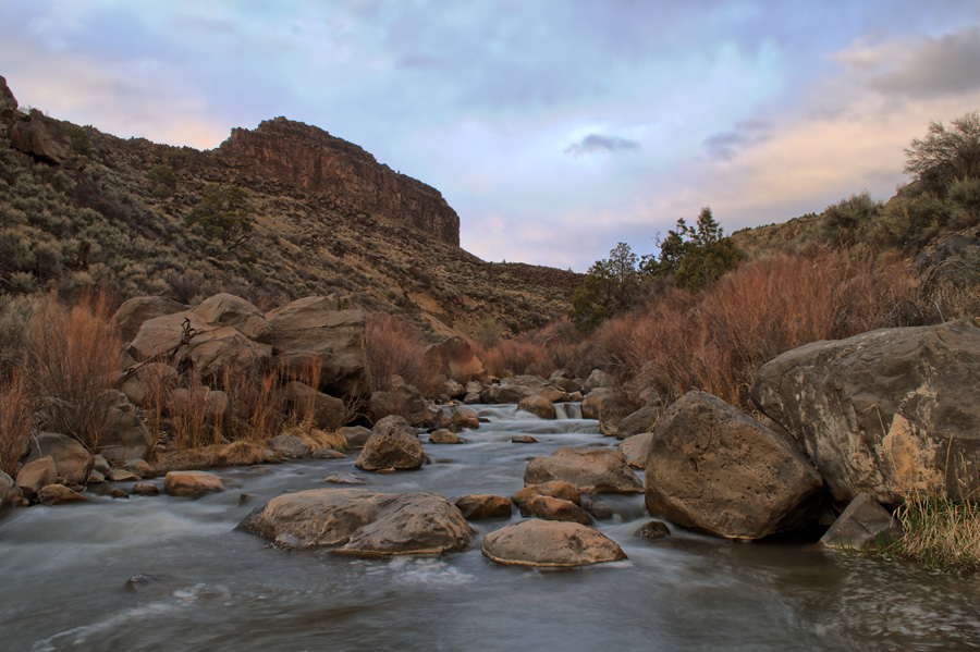
On the southern end of the National Monument is the Taos Junction area, where the Rio Pueblo de Taos flows into the Rio Grande. The area is heavily developed with paved access, campgrounds, and many hiking trails. This area was previously the Rio Grande Gorge State Park.



Dunn’s Bridge
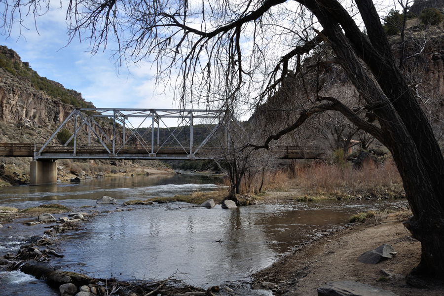
Near the town of Arroyo Hondo is Dunn’s Bridge. It’s a popular local spot for fishing and recreation, and a good route to access the Taos Plateau from Highway 522.


Wild Rivers Scenic Area
Once a BLM Recreation Area, the Wild Rivers is one of the only developed areas in the Rio Grande del Norte National Monument. The primary attraction is a steep hiking trail from the Gorge rim down to the confluence of the Red River and the Rio Grande. There are numerous hiking trails, pack-in campgrounds, a drive-in campground, and a visitor center. There is a small day fee for visiting the Wild Rivers area.

The steep trail down to the rivers.
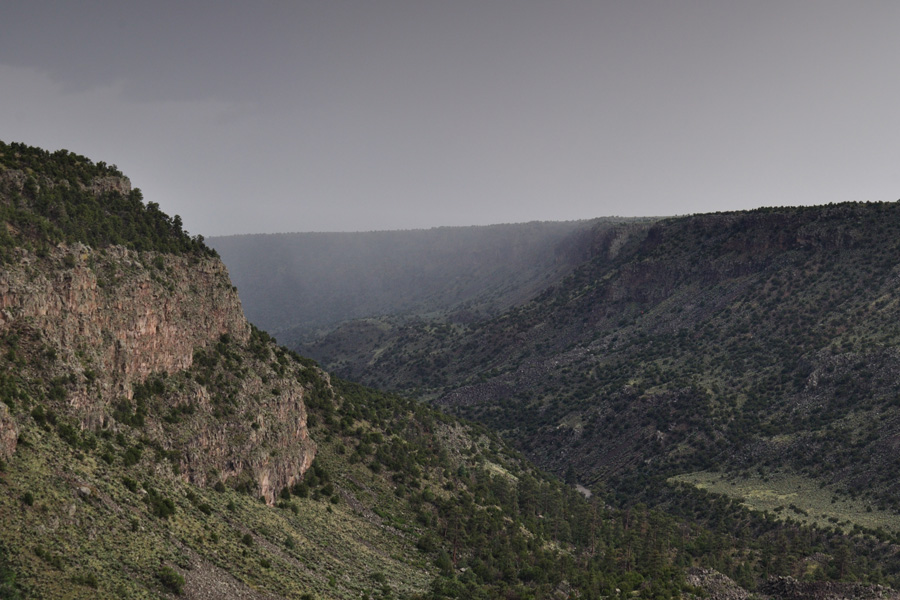
Weather can approach fast and without warning when down in the canyons.
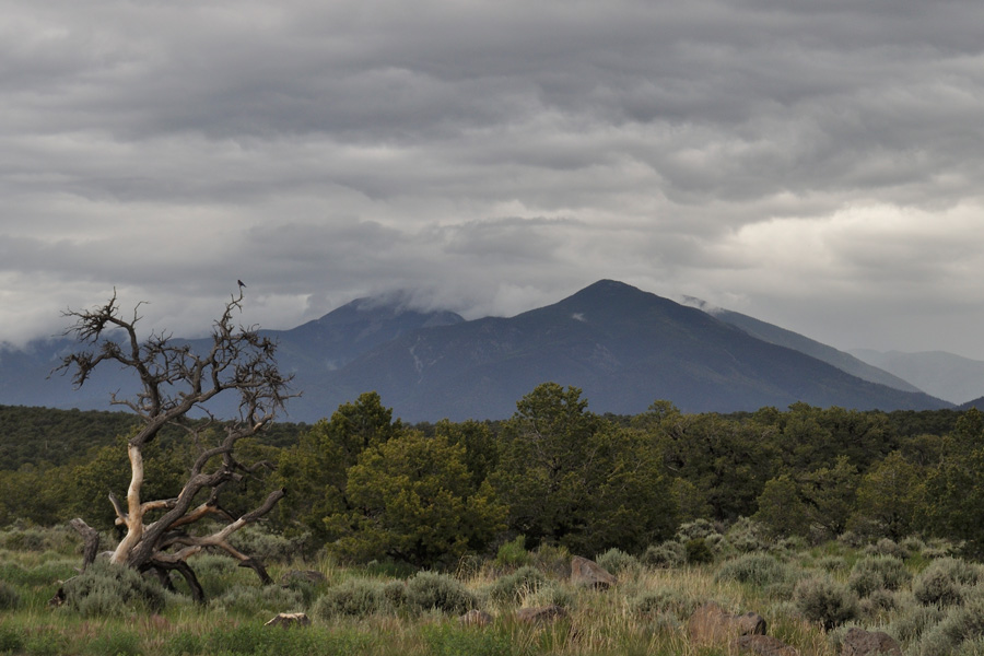
View of Wheeler Peak, the highest point in New Mexico.
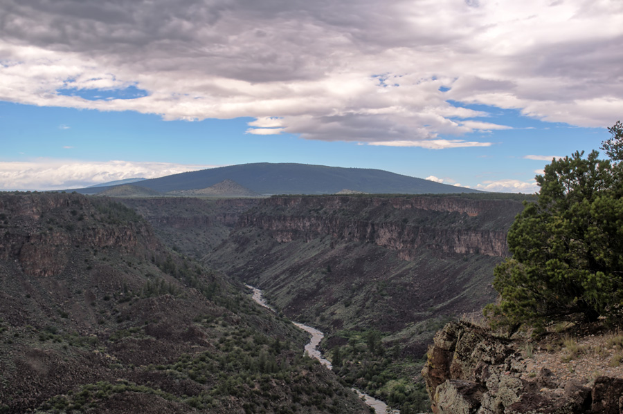
Ute Mountain in the distance.

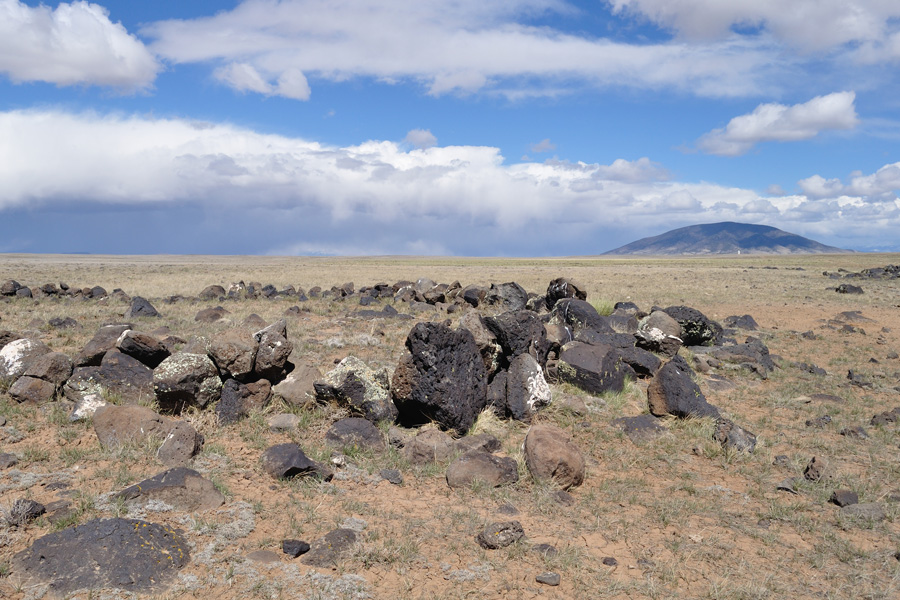
Taos Plateau
The majority of the land within the National Monument is the Taos Plateau, a vast sagebrush plain spotted with volcanic hills, historic homesteads, and prehistoric archaeological sites.




Comments
Rio Grande Del Norte — No Comments