Lusk Creek Wilderness is 6,298 acres of Forest Service land in the Shawnee National Forest. The area also includes specially designated natural areas that are state land. And there are private in-holdings within the Wilderness and adjacent Forest Service lands, meaning that good maps that show property boundaries are critical for exploring the area to avoid trespassing.
The Lusk Creek Wilderness is actually heavily developed with many formal hiking trails that access well-known and popular scenic spots. One of the trails is the heavily-used River-to-River trail that is open to hikers and equestrians.
These photos were taken in the southeast portion of the wilderness area, away from most of the tourist spots and developed trails.
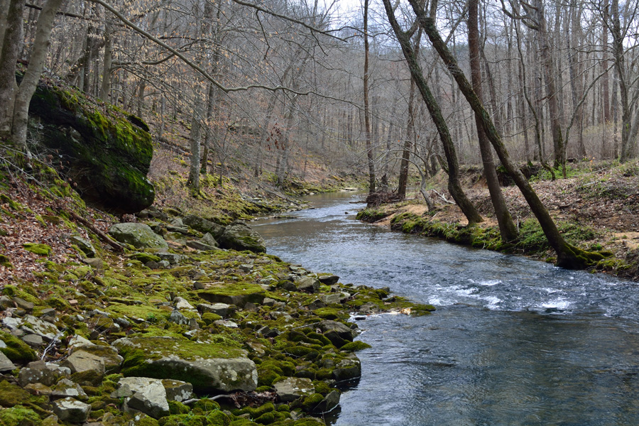
Little Lusk Creek is the primary geographical feature within this section of the Wilderness Area.

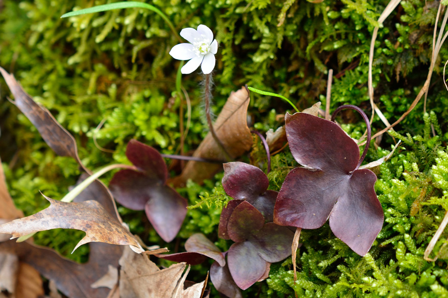
Early Spring is the best time to see Southern Illinois wildflowers.



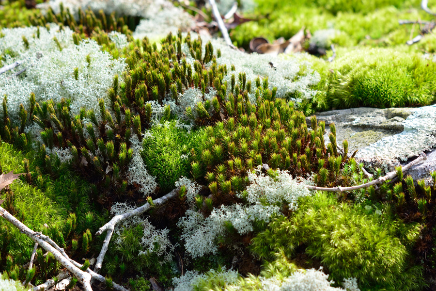
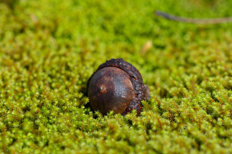
 The warm temperatures, abundant water, and dense shade make the perfect environment for a forest floor of mosses.
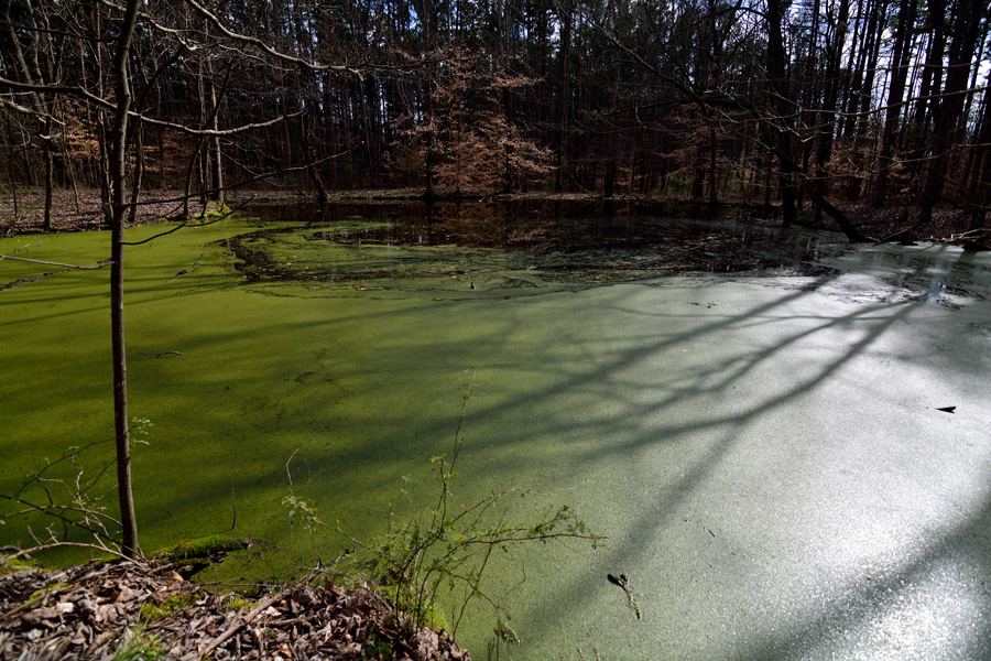
This historic farm pond does not appear on modern topographic maps.

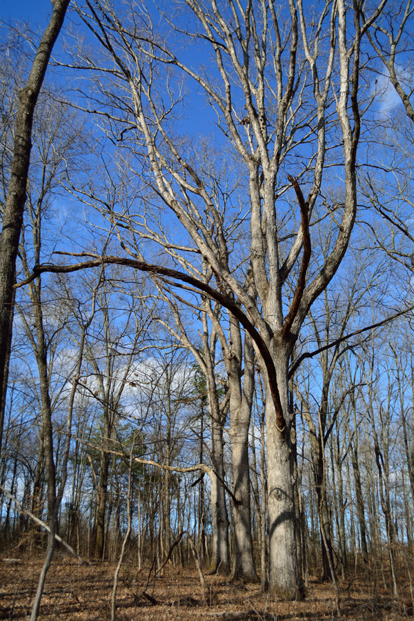
The large lower limbs indicate these trees did not develop in a forest. Perhaps they indicate a historic fence line or property boundary and were therefor skipped over by historic loggers.
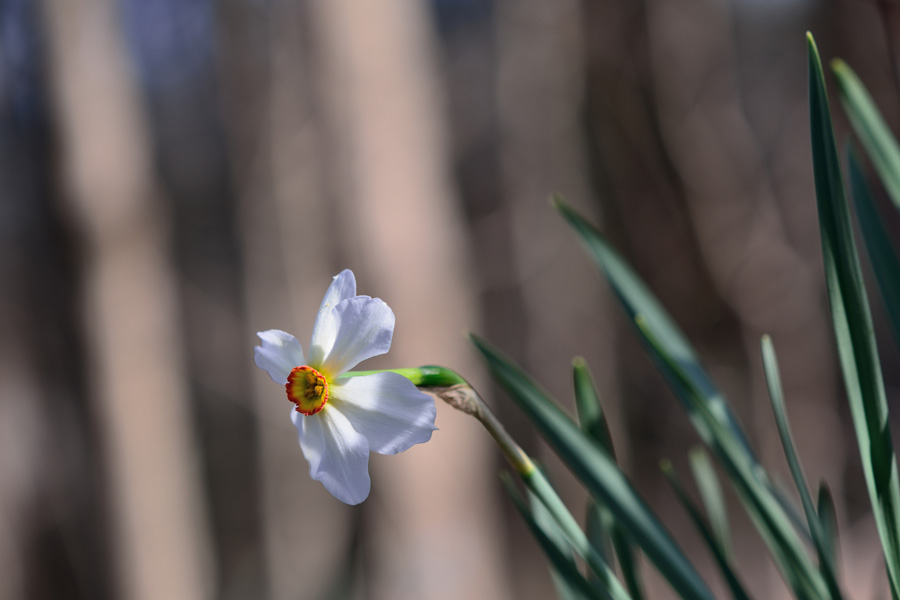
Often, the presence of non-native species and yard plantings are the only evidence of historic homestead sites.
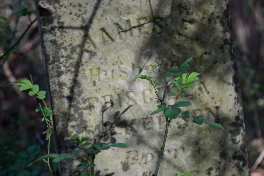
Historic cemeteries are ubiquitous throughout the Shawnee National Forest. During the summer when vegetation makes exploration nearly impossible, this cemetery would be very difficult to locate.

 More information on the USDA Forest Service website.
Comments
Lusk Creek Wilderness — No Comments