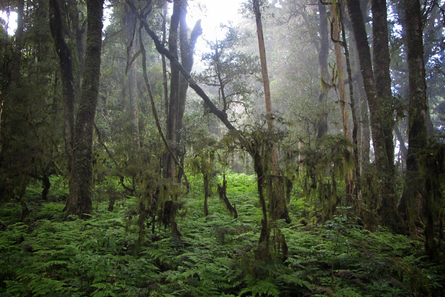
Mount Royal National Park is located 50 km north of Singleton, NSW. The topography is steep rain forests that, combined with the adjacent Barrington Tops National Park, are a World Heritage Site.

Facilities at the park are minimal; there is no drinking water, the campground is primitive, the entry road is not paved, and there are few developed walking tracks. For the duration of my visit there were no other vehicles and no other people in the park.
It was a cool morning, the sky was overcast, and light rain was falling.
Youngville Campground
 The first location encountered on the drive through the park is the Youngville Campground. Facilities are sparse, but the park service has thoughtfully put up signs to warn visitors of the dangers of being outdoors.
There are walking tracks at Youngville Campground that apparently lead down into system of creek drainages. Unfortunately these trails were closed at the time due to the park attempting to stop the spread of a plant fungus.
Also originating at the Youngville Campground is the Pieries Peak walking track.
Pieries Peak Walking Track
This short walking track is relatively gentle and non-strenuous, although it's not perfectly flat and it could be possible to lose sections of the trail in the brush. The vegetation covering the trail, rocks, and muck can be a bit slippery in rains. However, the trail is only 1.5 km and not steep.
The track leads out from the campground onto Pieries Peak, which is a narrow rock outcrop ridge overlooking the lower rain forests. Scenery was limited on my visit but the area is fascinating, especially the laughing kookaburras and other bird songs rising from the foggy forests below.


Mount Royal
A bit past the Youngville Campground on Mount Royal Road was a small parking space and a hill that looked inviting to walk up. This hill, I later learned, was actually Mount Royal itself.
There is no official or developed walking track up Mount Royal, but an informal walking path was visible on the lower slope, an indicator that other people do climb the mountain occasionally. This climb was muddy, steep, and covered in wet vegetation. This made for a slippery, sloppy walk.

The trees offer only a sparse canopy, allowing tall grass to grow on the forest floor. Occasionally the clouds would lift, creating a temporary but open view of the surround forests.

Nearing the top of the hill is an overhead rock outcrop. Being cautious on solo hikes and avoiding the slippery lichen-covered exposed rock, I worked around to the left side intending to find a less steep route to the summit. It required some stooped walking to penetrate this area of the forest. This deeply shaded and low-canopied area was a jungle of deep-green moss, vines, and other vegetation.


After circling around from the steep outcrop and crawling through the moss jungle, it was a relatively simple scramble up to the summit of Mount Royal. The hilltop is flat with thick trees and knee-high ferns. If there's an exact peak or summit marker, I didn't see it up there.

The official NSW Mt Royal website has information on campsite reservations, wildlife, and history.
The drive from Singleton to Mount Royal offers open scenery of rolling grasslands, area mountains, and Lake St. Clare.

Comments
Mount Royal National Park — No Comments