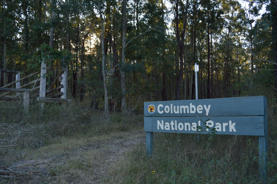
Columbey National Park is 2,145 acres of mixed forest. It’s a young forest overall, with isolated mature specimens. The park was set aside for conservation purposed due to the multiple vegetation eco-zones and the potential impact from increasing development in the region.
The only vehicle access into the park is via the Eagleton Road turnoff from the Clarence Town Road. Once in the park the marked roads and 4WD trails are open to vehicle use. Additionally, single-track motorcycle trails criss-cross the property. The roads and official trails are shown on the map below; some of the single tracks are visible in Google Maps.
A separate section of the park is the location of a historic quarry where stone was cut for local and regional architecture. According to the park sign, this section is inaccessible to the public because of surrounding private property.

Once again I find myself the only visitor in an Australian national park.

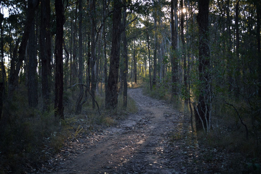
This is the Pipeline Trail, named for obvious reasons.

With some exception, the park is relatively clean and free of litter. Some past illegal dumping is visible, but less than expected considering the un-patrolled vehicle-accessible nature of the area.

Did a feral goat die out here? Or did someone dump a carcass?

The main roads and trails are well-marked with new signage.

Some of the different ecological zones are obvious.

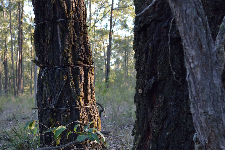
The park information indicates that the property was previously used for logging. The area was obviously used for grazing too.


A mid-winter late afternoon was an ideal time to visit.

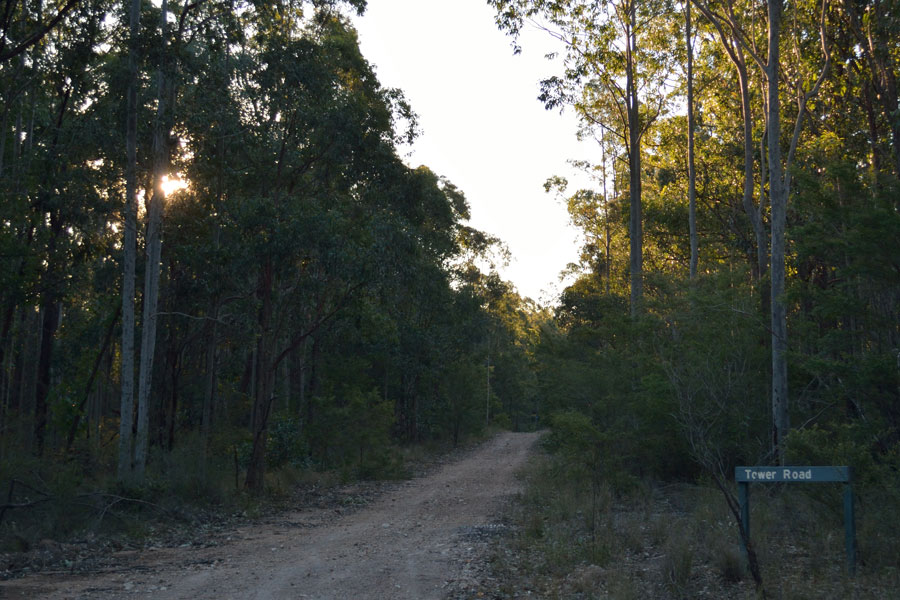
Tower Road. Without time to walk the road, I am curious as to whether a tower once stood on top of the hill.


There is little information found online related to visiting Columbey National Park. The best resource is the Plan of Management (pdf file)created by the Office of Environment & Heritage.