Black Mesa is located in the far northwest corner of Oklahoma near the town of Kenton. The preserve is 1,600 acres and was donated to the state of Oklahoma by The Nature Conservancy for the purpose of protecting the native plants and animals of the region. Most visitors, undoubtedly, come for the 8.4 mile round-trip hike to the summit of Black Mesa, famous for being the highest point in Oklahoma.

The first couple miles of the trail are very flat as it meanders around the base of Black Mesa. Along this section of trail are the remnants of a historic farm with foundations, field clearing piles, and a possible grave stone marked “G.C.”

Then the trail turns towards the mesa and follows an old road to the top. This climb isn’t long or especially difficult and should be no problem for hikers of average physical fitness, but there are some badly eroded areas with slippery crumbling ground and loose rocks.


Once reaching the top, the trail is almost perfectly flat as it crosses the ancient lava flow to the Oklahoma high point.

April was a good time to see some of the early blooming wildflowers, and a good time to avoid the region’s summer heat or frigid winter winds.


The highest point in Oklahoma is marked with a granite monument. A state survey marker is found nearby, marking the official elevation of 4,973 feet above sea level.

The Oklahoma summit isn’t actually the highest point on Black Mesa, only the highest point on the Oklahoma side of the state line; Black Mesa trends upward into Colorado and New Mexico.

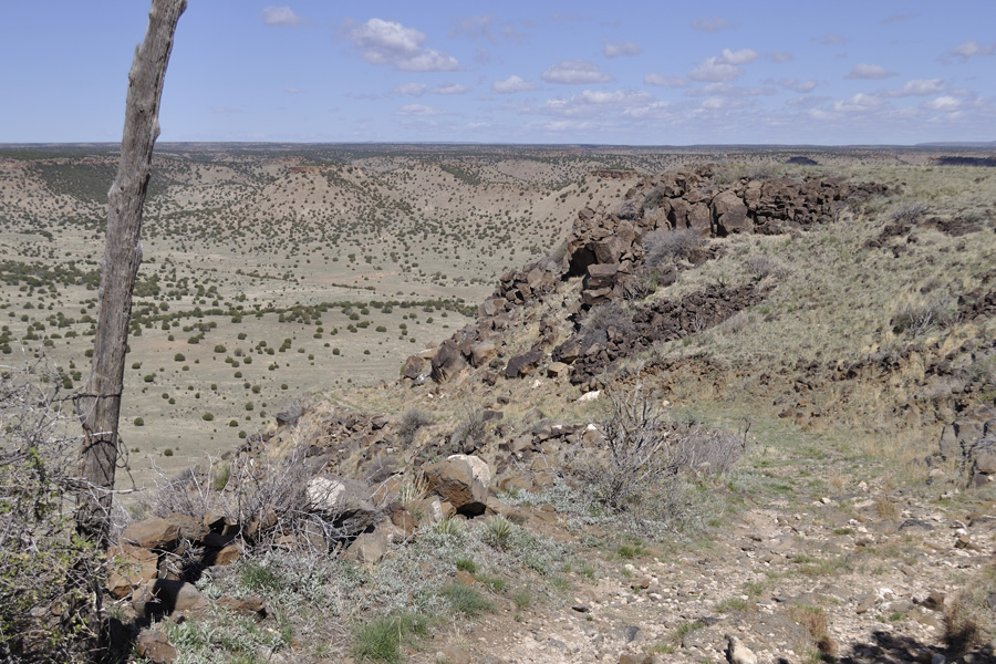
An informal trail leads south to the edge of the mesa, offering a broad view of the valley below.

Three or four different states are visible from the summit: New Mexico, Texas, Colorado, and perhaps Kansas.

The Oklahoma Tourism & Recreation Department website has more information including an interactive map for locating the preserve and a high-quality PDF trail map.
Comments
Black Mesa Nature Preserve — No Comments